The Missouri Department of Natural Resources and the Missouri Office of Administration’s Office of Geospatial Information have worked together to provide geographic information and applications for many years. Built by the software company Esri, ArcGIS is a powerful mapping and spatial analytics tool used for examining, understanding and navigating our natural environment. In 2022, two new ArcGIS applications were released to the public: Well Drilling Logs and the Well Installation Section Drilling Information Map.
Well drilling logs
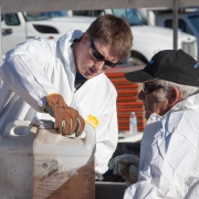
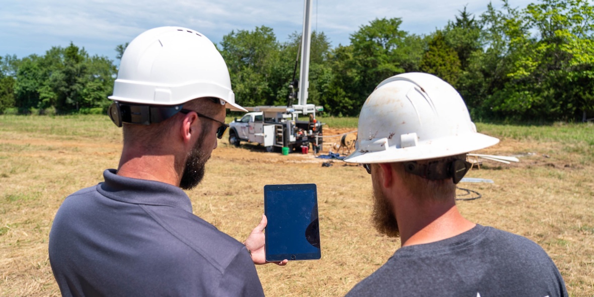
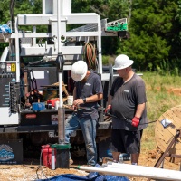
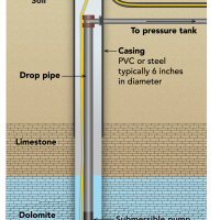
Well logs are important records that provide the department, well drilling contractors and the public with information about the well’s location, contractor, owner, stratigraphy, distance to groundwater, materials used to construct the well and other related information. Along with the logs, well drilling contractors provide well cuttings, small pieces of rock collected as the well is drilled, to the department for most public water supply wells drilled in Missouri. Department geologists review and interpret these cuttings to determine the nature of the subsurface geology to gain a better understanding of our groundwater resources.
To view the full gallery, tap on any image.
Well Installation Section Drilling Information Map (WISDIM)
Nearly 3 million Missourians depend on water wells for their drinking water. The state is partitioned into 13 drilling areas with varying construction specifications determined by their unique geologic and hydrologic features along with certain environmental factors. This information is critical to groundwater protection and proper well construction.
“The Well Installation Section Drilling Information Map makes finding well information fast and easy,” said Danny Flynn, owner of Flynn Drilling Company in Troy. “Whether you’re a driller or a well owner, this application provides instantly available well information.”
Users can search within the app for a physical address to find domestic bedrock water well drilling requirements and locations, and information about a number of well types. This includes water, heat pump, monitoring, reconstructed, abandoned, mineral hole and oil and gas wells. Information about well cores and cuttings, and well logs are also available using the app.
The department’s Missouri Geological Survey, Missouri State Parks and Environmental Quality divisions offer a variety of ArcGIS applications. These tools aid in providing information in support of recreation, stewardship and beneficial use of Missouri's natural resources, and in the interest of public health and safety.
|
Other Available ArcGIS Apps |
||
|---|---|---|
| Air Facilities and Air Quality Monitoring Sites. | Follow the Water - Understanding Springs in the Missouri Ozarks | Geologic Map Index |
| Geosciences Technical Resource Assessment Tool | Groundwater Observation Wells | Historic Districts and Sites Map |
| Industrial Minerals and Metallic Mineral Waste Management | Katy Trail Advisory Map | Katy Trail State Park Story Map |
| The Missouri State Parks Park and Site Status Map | Rock Island Corridor Viewer | Missouri State Parks Trails Map |
| To access these ArcGIS apps, visit dnr.mo.gov/data-e-services. | ||