Latest Stories
-
|
Investing for the future
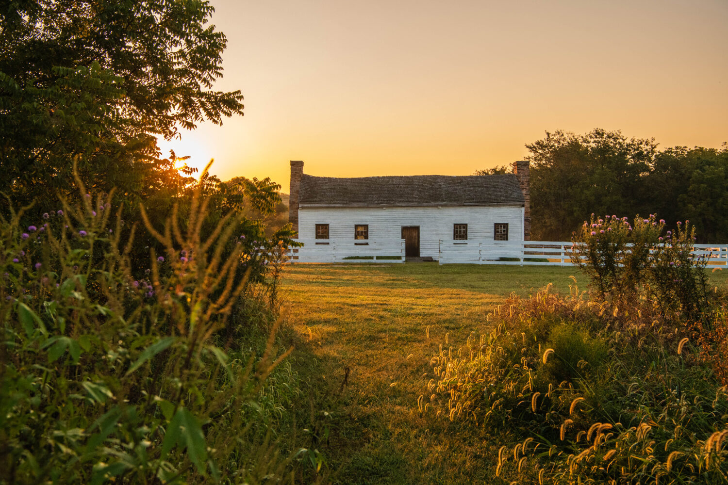
Missouri’s state parks offer a temporary escape from the hustle and bustle of cities, as well as a chance to reconnect with the outdoors, where citizens can explore the natural diversity throughout the state.
-
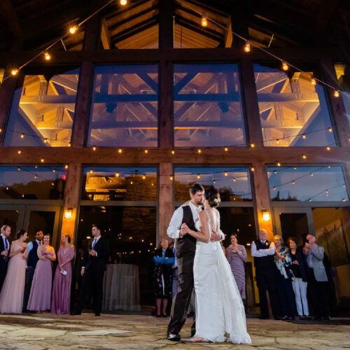
Beyond the Banquet Hall
Are you planning a big event and searching for the perfect venue? Look no further! Whether a wedding, a family reunion or a corporate retreat, Missouri’s state parks and historic sites offer a diverse range of…
-

Pitch Perfect
Camping is one of the most popular activities in Missouri’s state parks and historic sites, and it’s not hard to see why. Forty-one state parks and historic sites offer more than 3,500 campsites that will make…
-
Jovial Jaunts
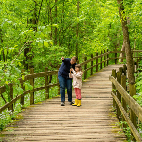
With more than 1,000 miles of trail, Missouri state parks and historic sites offer something for everyone. From a short walk on a paved trail to a rugged hike through the wilderness, many of the trails…
-
Lean in to fun and Learn2
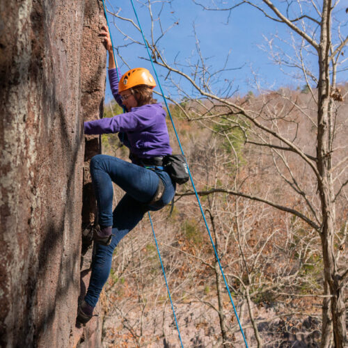
Do you want to go on a new adventure or learn a new outdoor skill but don’t know where to begin? Missouri State Parks offers a wide variety of outdoor skill programs at individual parks and…
-
|
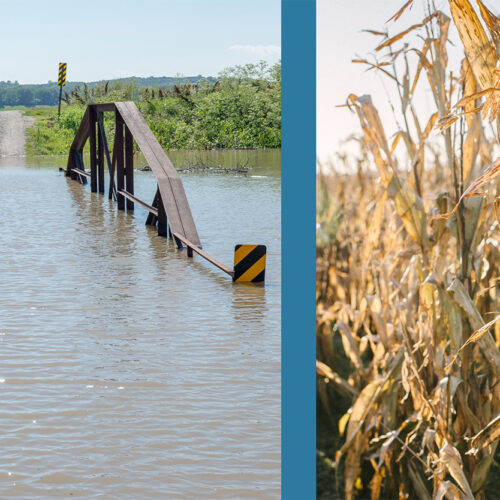
Championing Flood and Drought Resiliency
Missouri’s climate can hit extremes such as drought and flooding – sometimes in the same season. In response to the devastating flooding in 2019, Governor Parson’s Flood Recovery Advisory Working Group, led by the Missouri Department…
-

Pesky Poisons
The Missouri Department of Natural Resources’ Pesticide Collection Program broke two program records this year.