
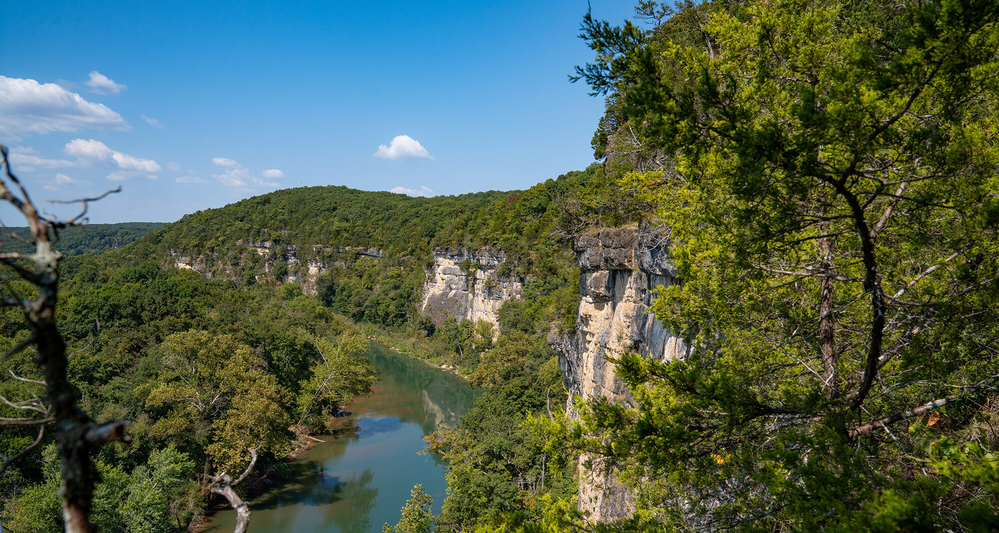
The dolomite face of Vilander Bluff, near Leasburg, towers above the Meramec River. MoDNR photo by Adam Knaebel.
One of Missouri’s grandest portals to rare lifeforms can be found on the highest point overlooking the Meramec River. Crawford County’s Vilander Bluff stands more than 900 feet above sea level and over 300 feet above the river below. This outpost of Onondaga Cave State Park is also home to some of Missouri’s oldest living organisms.
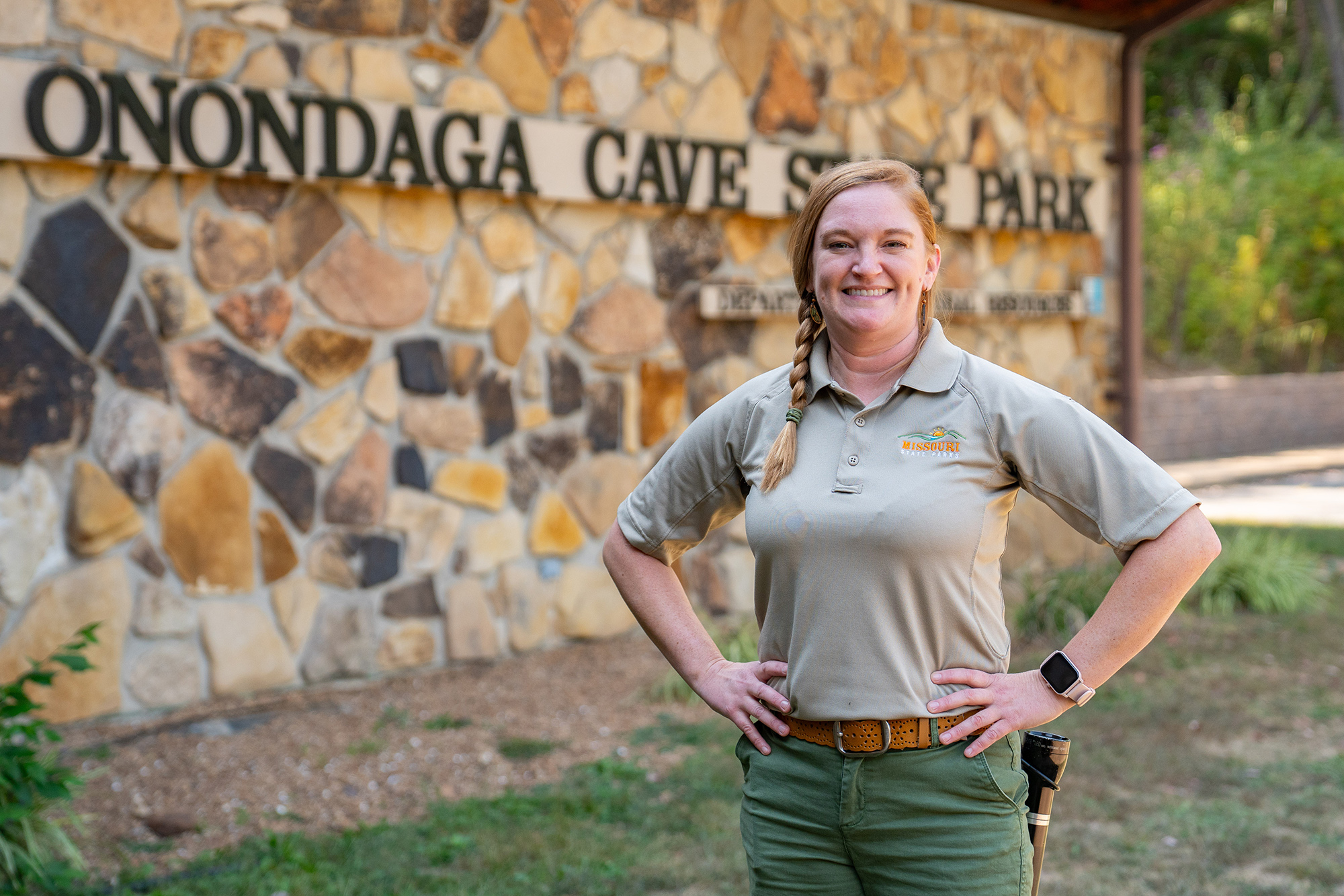
“It’s pretty amazing,” said Tasha Gabel, senior naturalist at Onondaga Cave State Park. “The first time I went to the bluff, I didn’t realize just how old the trees are because they’re so short and stubby. They have a very slow growth rate due to the harsh conditions.”
Vilander Bluff cradles a sharp bend of the Meramec River, approximately 10 miles southeast of Bourbon. Its edifice is a sheer, multicolored exposure of Gasconade Dolomite. Rooted within the bluff’s rock fissures are a stand of timeworn eastern red cedars. Before modern settlers arrived, cedars like these were primarily confined to tall cliffs, since the species is fire intolerant as a seedling, meaning prescribed burns by Native Americans kept them from spreading.
“Historically, fire hasn’t been able to reach the bluff edges, which protected those cedars since they’d usually burn up in a fire,” Gabel said. “Naturally, wildfires happen from time to time from things like lightning strikes. Since we don’t see as many fires today, we’re seeing a big spread of eastern red cedars from areas like this. That’s one reason why we conduct prescribed burns.”

Gabel said studies found the eastern red cedars on Vilander Bluff were growing long before the United States formed a government. In fact, 144 of the trees are over 200 years old and 70 are over 300 years old. Moreover, an analysis of one tree’s cross section found it was 500 years old while it only measured a mere 9 1/3 square inches. This makes it perhaps the slowest growing organism known to have ever lived in Missouri.
Adding even more distinction to Vilander Bluff is its vibrant talus slopes. These are places where sparse soil and loose rocks make up more than 50% of the ground area, making them an ideal habitat for reptiles, amphibians and insects. Vilander Bluff boasts one of Missouri’s best examples of this ecosystem within its broad base beside the river, where dolomite slabs and boulders have fallen from the bluff above.
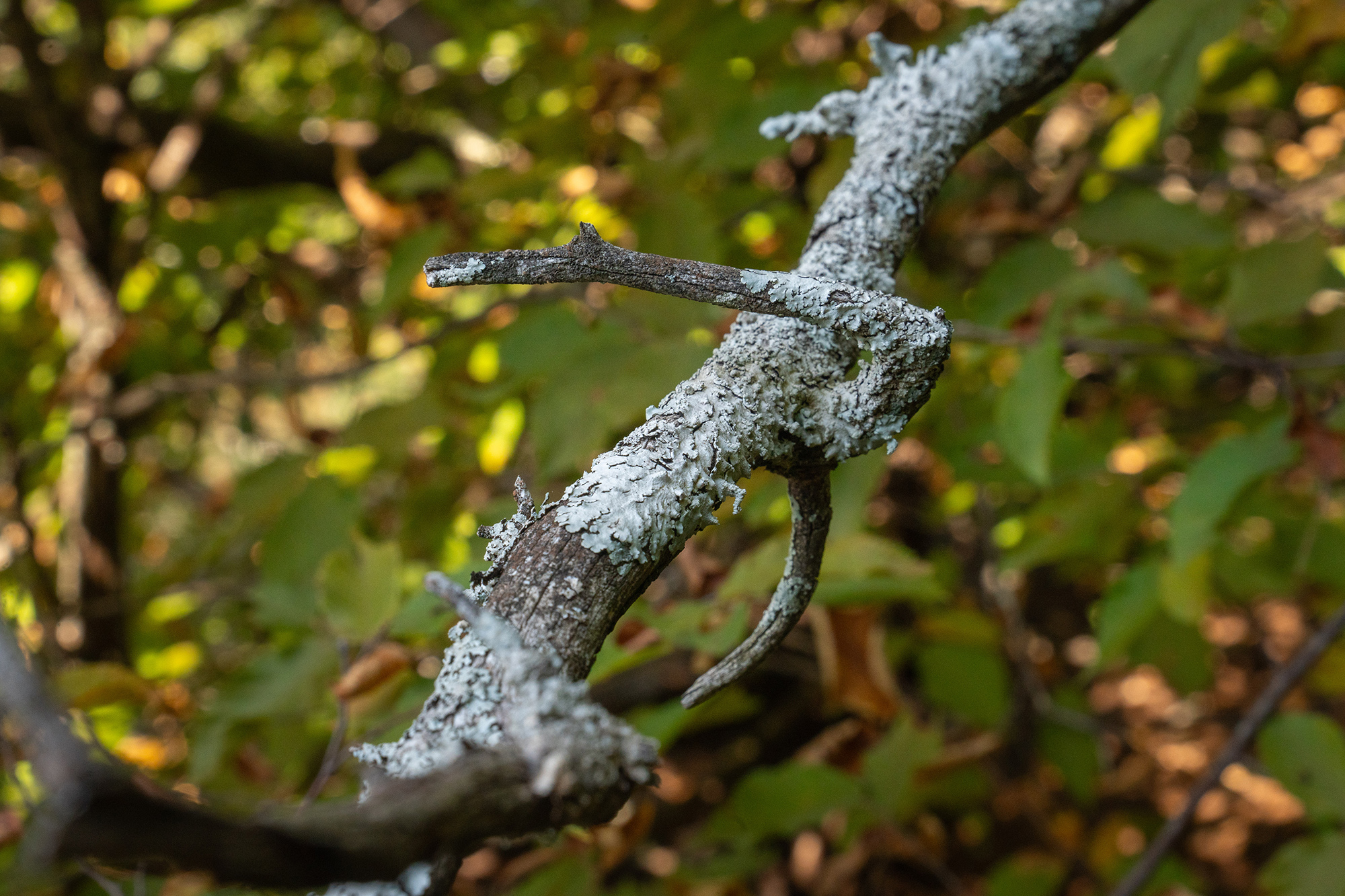
Gabel said among the talus community’s most notable residents at Vilander Bluff are its lichens, with roughly 70 different species found there. This represents nearly 16% of all the lichen species found in Missouri. “That is a great indicator of air quality when you have that many different species,” said Gabel.
Visitors can climb a portion of the bluff via the 1.3-mile Vilander Bluff Trail of Onondaga Cave State Park. Don’t look for the trailhead near the park visitor’s center, though. The acres surrounding the bluff are a natural area separated from the rest of the park by several miles. The trailhead at Vilander Bluff can be reached via Thickety Ford Road off State Route N in Crawford County.
Those making the trip are advised to not come looking for vista views from the bluff. The trail, constructed by the Miramiguoa Chapter of Franklin County’s Missouri Master Naturalists, crowns a lower portion of the bluff but doesn’t approach the river-facing edge.
Want to see Vilander Bluff from the bottom? You’ll need a boat and the energy to paddle. The closest launch upstream is the public access at Campbell Bridge off State Route N. You could also start a couple miles downstream at the Blue Springs Creek Conservation Area, but you’ll need the energy to fight the current paddling upstream.
Plan your visit to Vilander Bluff Natural Area on the Missouri State Parks website.